Oliver McLeod
Scientist & Cartographer


Geological maps
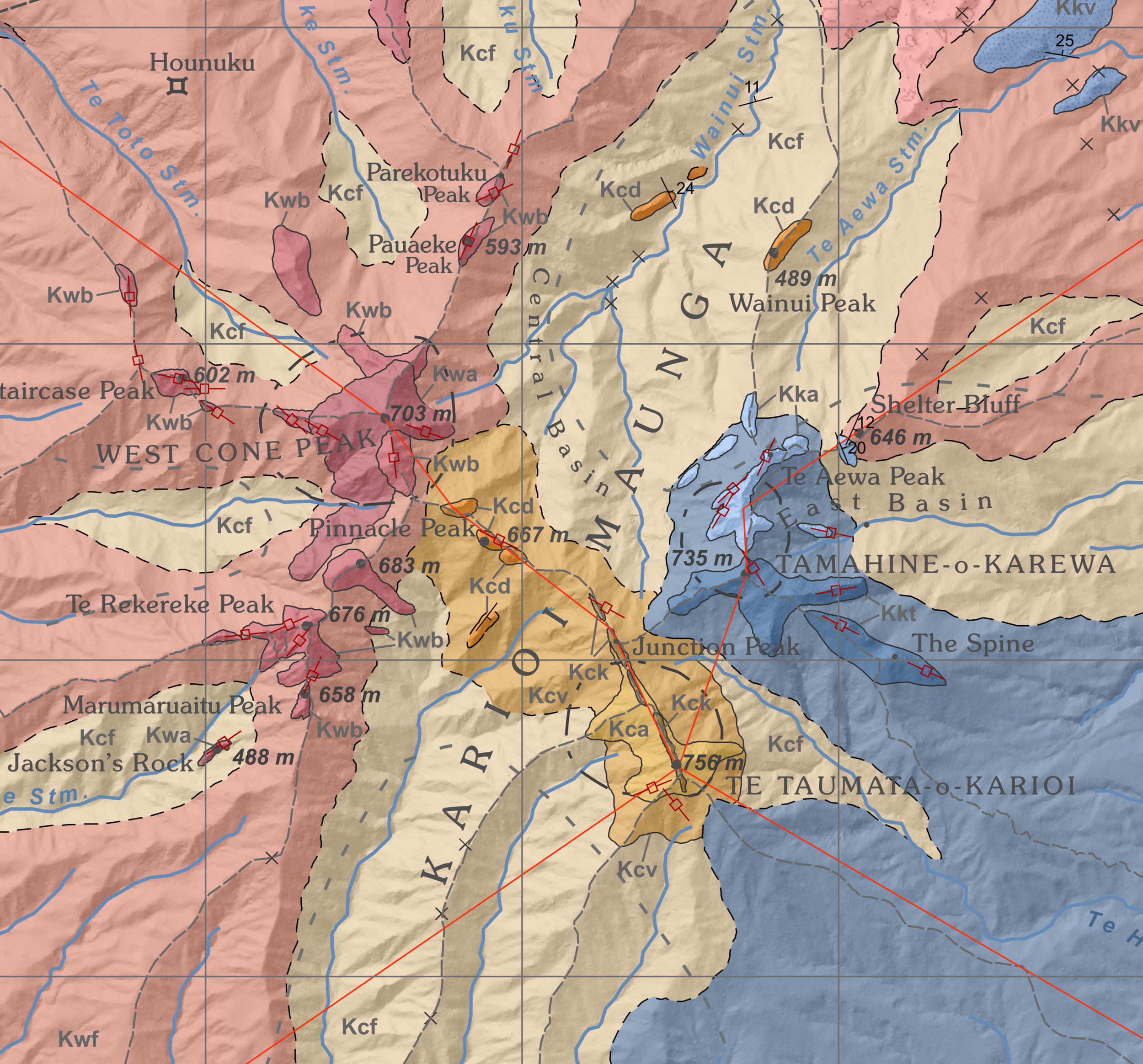
Showcase what this product is about. What’s it made of? How was it made? What are ways to enjoy it?
Printed and hand signed by Oliver
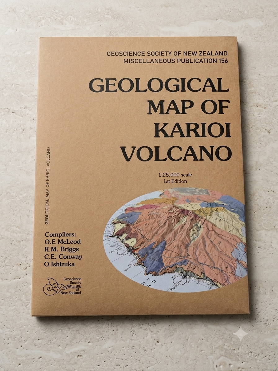
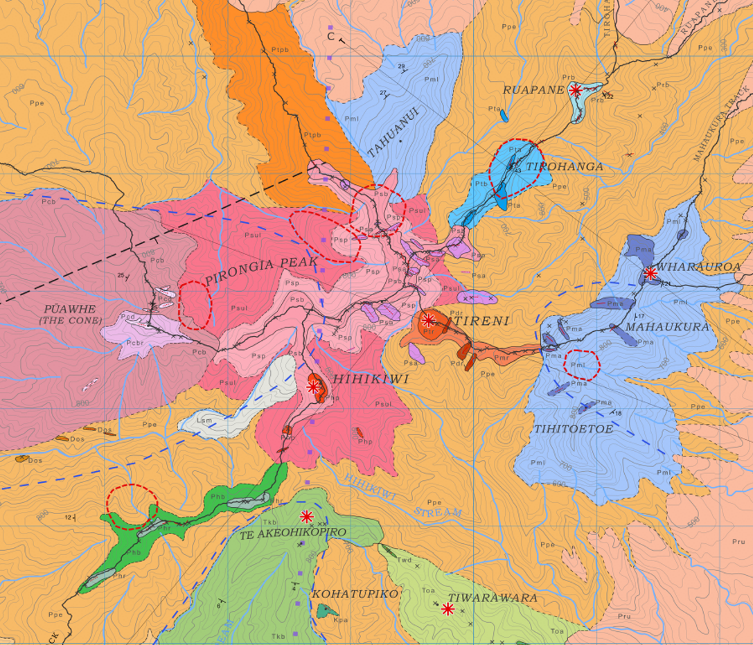
The original! This was the first major geological map I produced as part of my PhD. The Pirongia map represents about 4 years of dedicated fieldwork on the mountain to piece together its (rather complex) volcanic past. 1:30,000 scale, landscape on an A0 sheet.
Invited speaker services
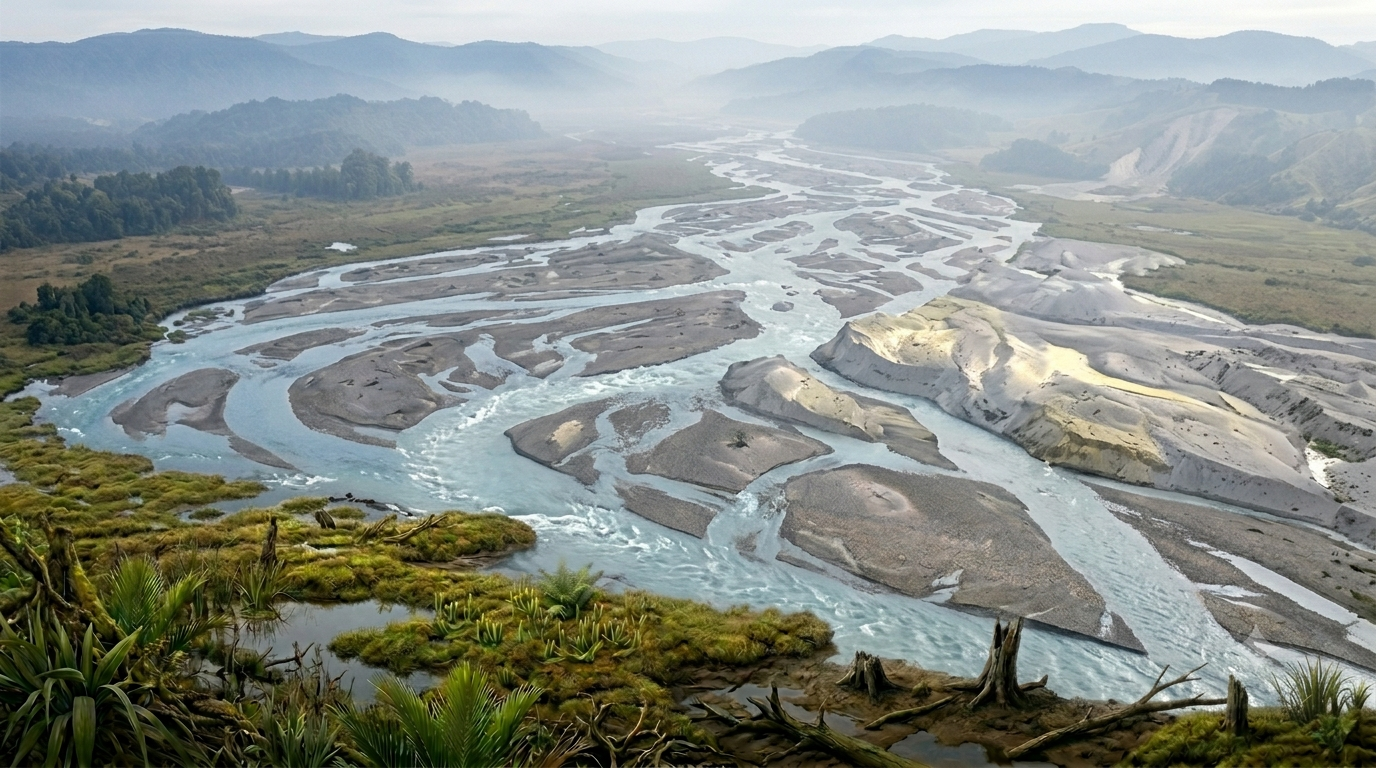
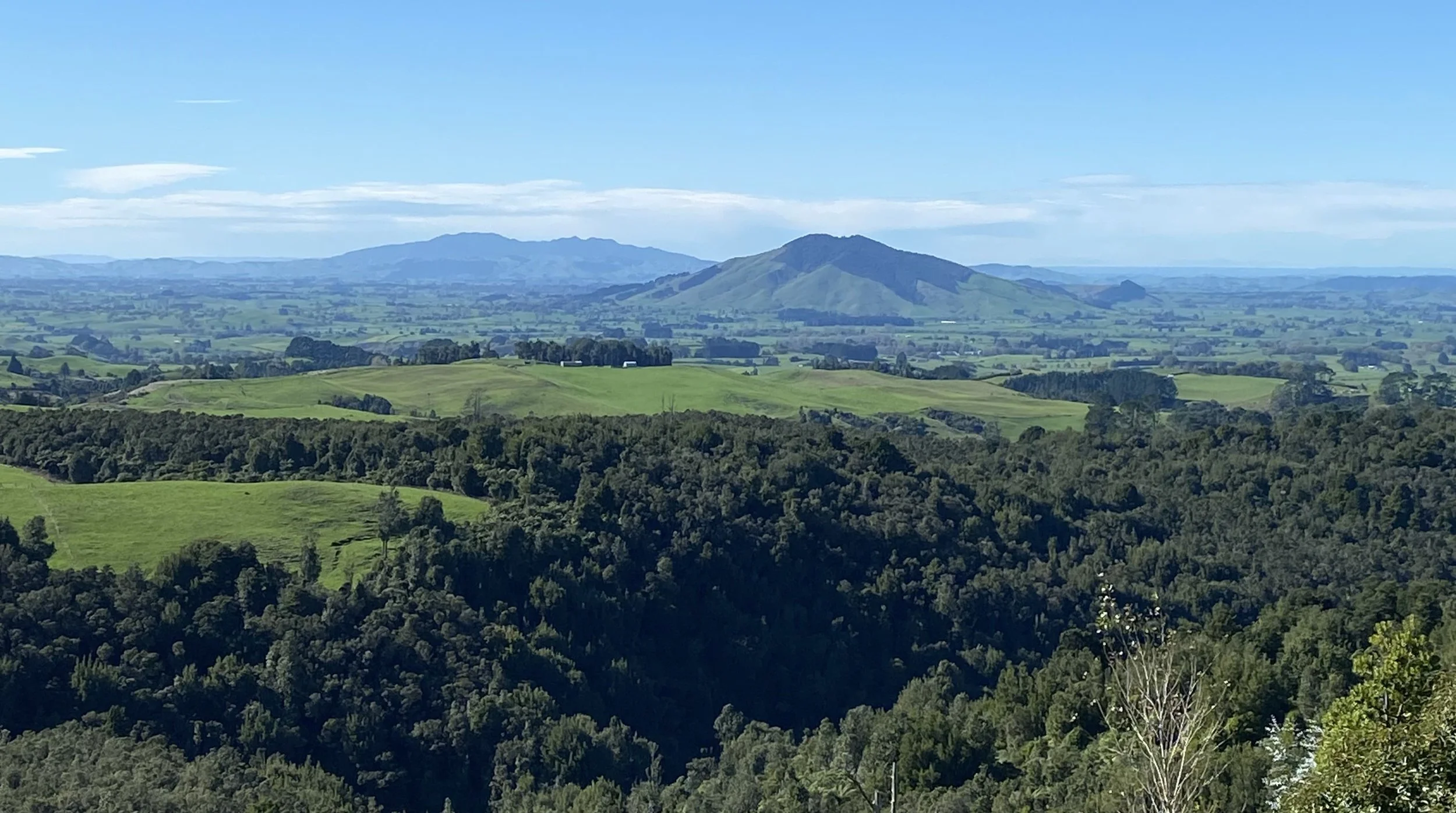
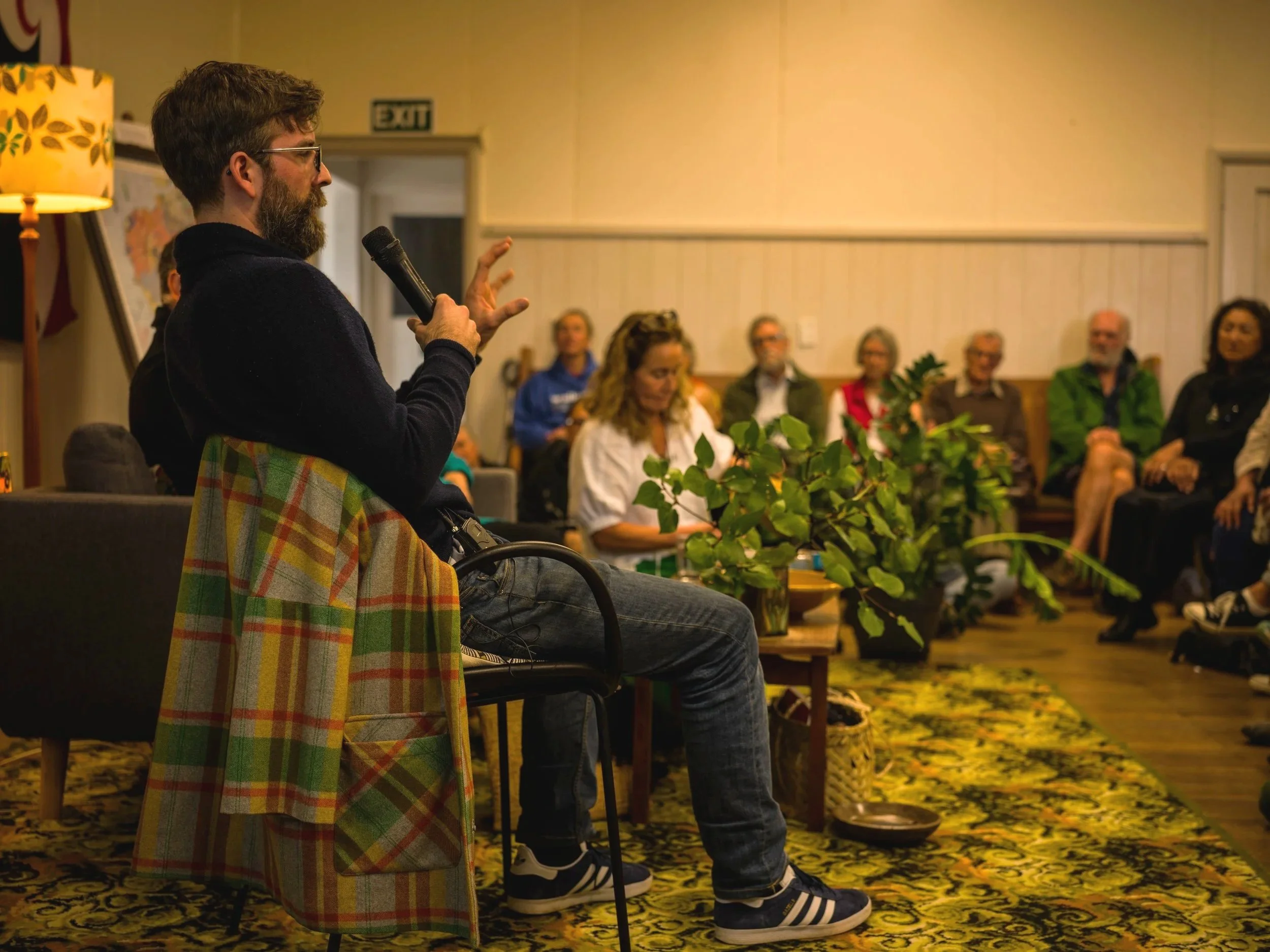
I will visit you organisation to talk about the natural history of the Waikato, it’s mountains, rivers and coastlines. Engaging, 45 minute presentation with a charasmatic speaker who knows the rocks. Content can be tailored to the specific interests and geographic area you have in mind.
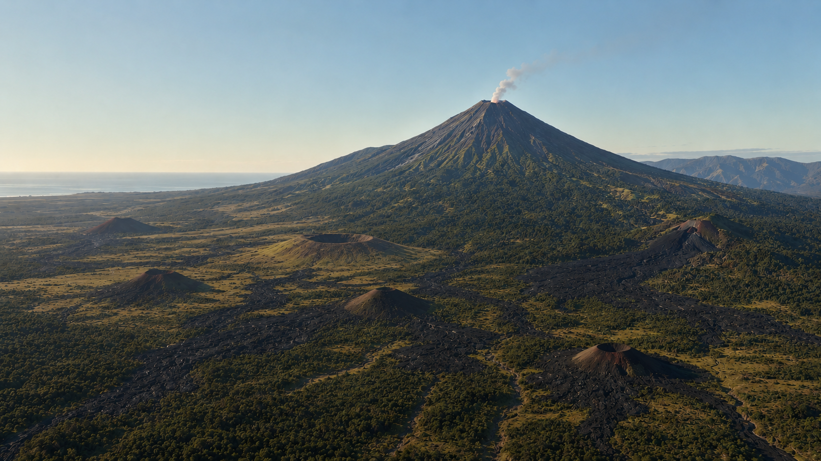
Journey back 2.6 million years to the dawn of the Quaternary period, when the quiet coastal plains of Whāingaroa were awoken by magmas surging from an ancient subduction zone.
At the northwest tip of the Alexandra Volcanic Group, the ancient maunga Karioi stands as part of a rare global setting where two distinct types of magma erupted together from the same volcanic system. Drawing on decades of field research, aeromagnetic data, and recent dating techniques, this talk translates complex earth science into an engaging, easy-to-understand story for everyone.
Discover how thick lava flows redirected drainage systems to shape the modern Whāingaroa Harbour, and trace the origins of landmark features right in our backyard, including:
Wairēinga (Bridal Veil Falls)
The Te Toto Gorge Landslide
Whale Bay, Manu Bay, and Ngarunui Beach
The Pancake Limestone Rocks
The black sand dunes
Offshore volcanic reefs, including Jacksons, Aotea and Kārewa
Fossil forests
Ignimbrites from super eruptions in the central North Island
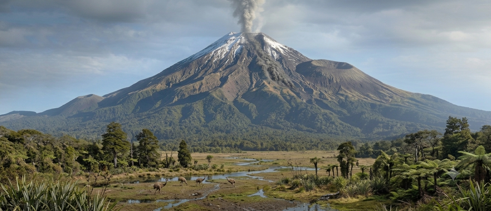
Let’s travel back in time to the dawn of the Pleistocene, when the Hamilton Basin was brought to life by fiery eruptions of basalt lava from ancestral Pirongia. Over the millennia to follow, Pirongia transformed from a humble shield volcano into a towering stratovolcano, not unlike how Taranaki looks today. Yet, such immense power came with a heavy cost. The volcano experienced a series of massive structural failures, culminating in a colossal collapse into the Kawhia area that dwarfed the 1980 eruption and collapse of Mount St Helens.
We will also explore the formation of its younger sibling volcanoes—Kakepuku, the striking pyramid-like cone near Te Awamutu, and Te Kaawa. Along the way, we will consider the wider significance of these peaks in the history of North Island volcanism, tying them to the relentless mechanics of the Hikurangi subduction zone and the retreat of the Pacific Plate towards the modern active Taupō Volcanic Zone.
Join us for a richly illustrated, compelling account of the dramatic geological origins of Pirongia, Kakepuku, and Te Kaawa.
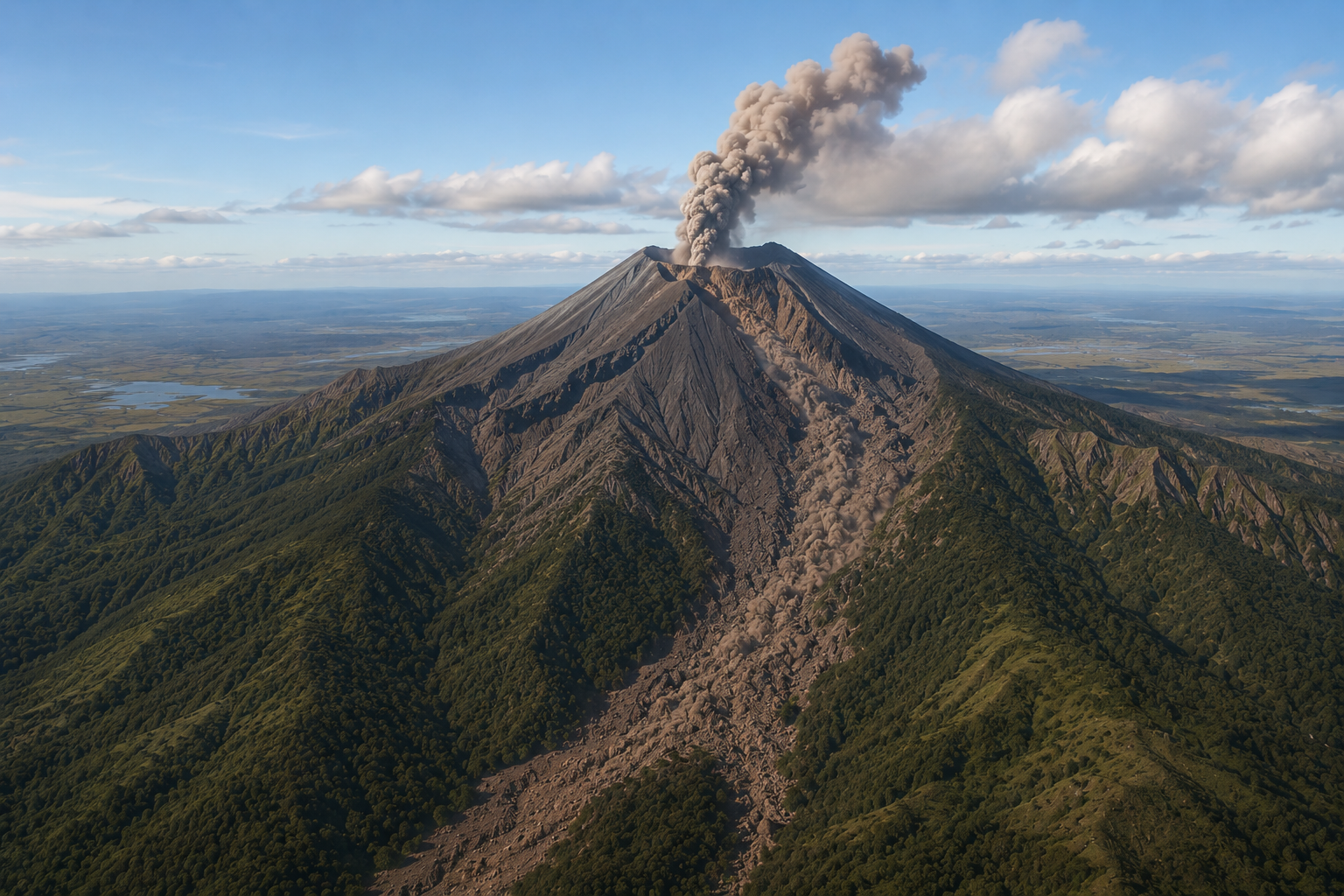
Oliver’s geo blog
Keep up with my latest research on all things volcanic
Follow the Journey
Follow the Journey
Have a Geo Question?