The world of geo-mapping in Aotearoa
This website is all about my latest research in the world of volcanoes and natural history in the Waikato region of New Zealand.
BIO
I somewhat struggle to place myself neatly into boxes. I enjoy some aspects of academia, spent 10 years in university at Otago and Waikato. Studied geology, geography, GIS. A lot of my work is multidisciplinary, spanning geoscience, mātauranga māori, archaeology, fresh water science, geomorphology, hydrology….I see all these fields as forming a rich tapestry within our landscapes and all yield information relevant to living well within them.
I grew up between Auckland and Kawau Island, So my childhood was sort of swallows and amazons. I had a lot of free time gifted to me to wander coasts, manuka forests and old mine shafts (!). Basically, my childhood interests were allowed to expand into the inquisitive science I do today. I’m still on that path, now age 32. Where there’s adventure and discovery to be found, I’m in!
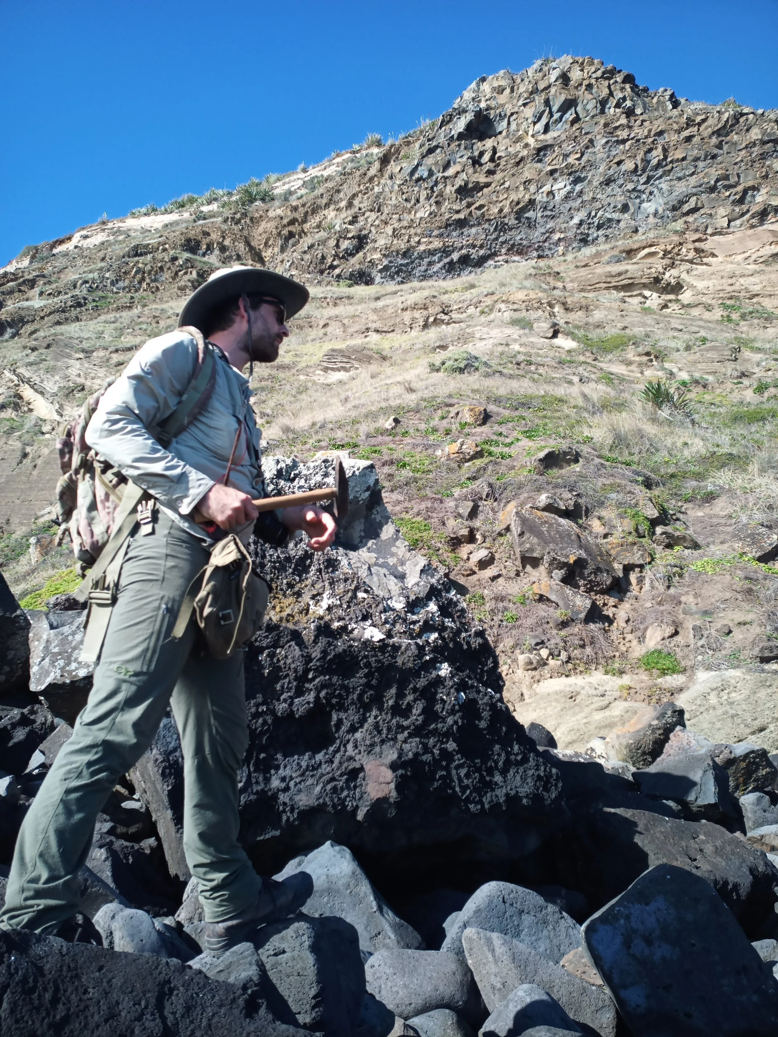
My passion is understanding the natural world through the (hand) lens of geology. The layers of time intrigue me. Volcanoes are my happy place for sure. I also care a lot of about sharing that passion with the people of NZ and further afield.
I am probably best known for my mapping work on the Alexandra Volcanics, namely the magnificent peaks Pirongia and Karioi on the west coast of the Waikato. My job is in local government and I work with iwi māori on a wide range of environmental issues, from polluted lakes, to coastal erosion, flood events and threatened biodiversity.
I use maps and the mapping process to understand the world around me. it is literally my cognitive approach to making sense of life. Im an enthusiast for old geological literature, especially map bulletins from NZ, the USGS etc. There’s nothing like hunkering down with a 1960-1980s era bulletin on a rainy day. I love the old cartography and typography, the colour tones and textures. I try my best to carry those traditions on in my work through creative use of ArcGIS.
I often muse that my mapping work is incredibly simplistic and that anyone could do it. They probably could really. Maybe what’s unique is that I can think about the same topic for years at a time, slowly advancing the field of knowledge through incremental discovery. I tend to work solo on my mountain maps, both in terms of field work and ‘office mapping’.
I sit on the National Committee of the Geoscience Society of New Zealand and chair the local Waikato branch. If you are interested in joining the GSNZ or participating in local branch activities write to waikato@gsnz.org.nz. I’m also a member of the cartographic society of NZ - the people who really know how to make maps!
Have Questions? Let’s Talk Rocks!
Send a quick inquiry and we’ll craft a happy, helpful plan. Yay for epic earth adventures!